Since 2018, we have engaged to help communities realise the potential of GIS and MAPS


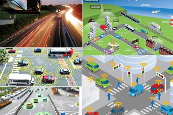
Our solutions are specifically designed to meet the needs of Public and Private Organizations from a variety of industries, such as Municipalities, Counties, Utilities Providers, Construction Firms, State Agencies, the Transportation Industry, Agriculture and Forestry, Landscape and Parking Lots, Smart Cities and Urban Planning, Utilities, Mining and Energy Companies.
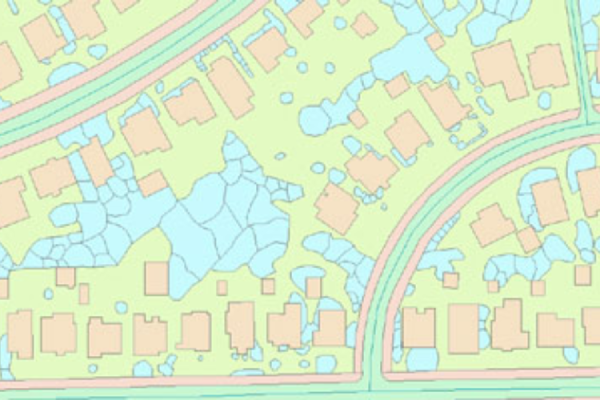
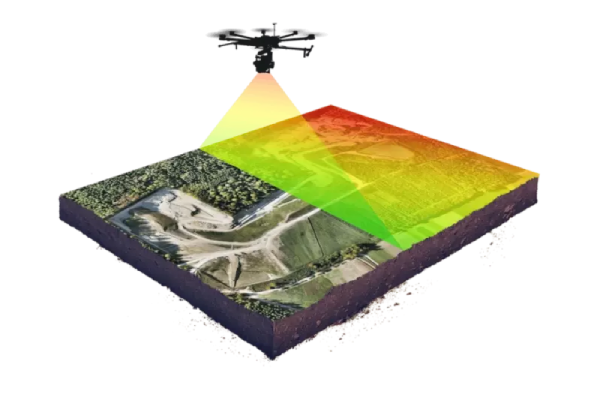
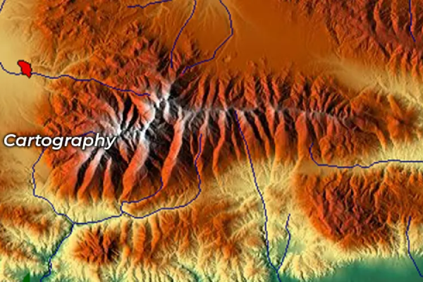
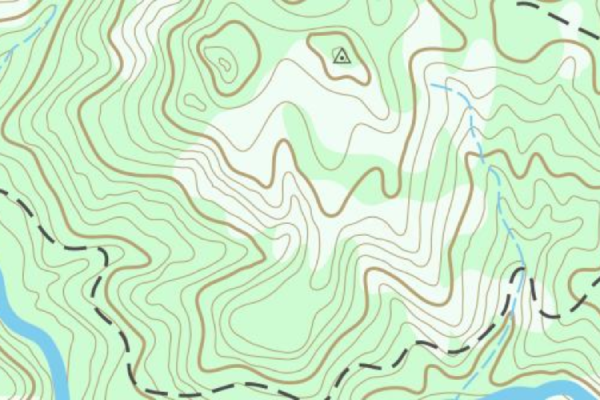
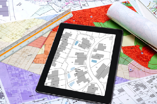
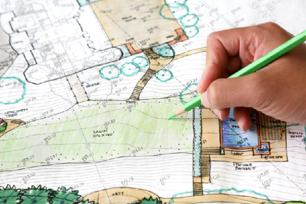
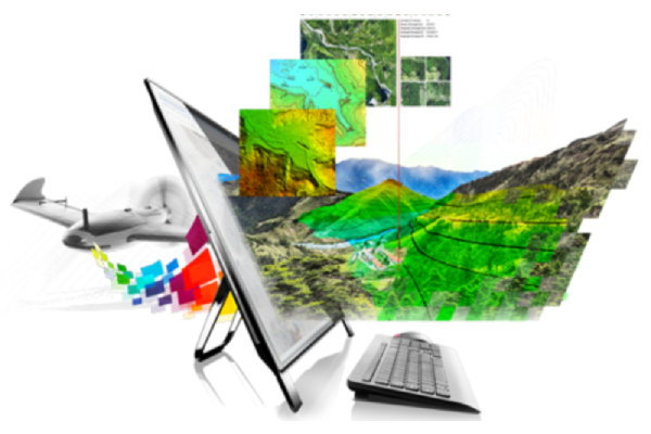
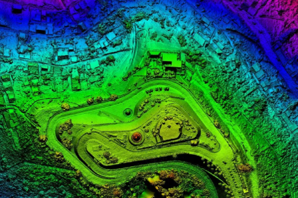
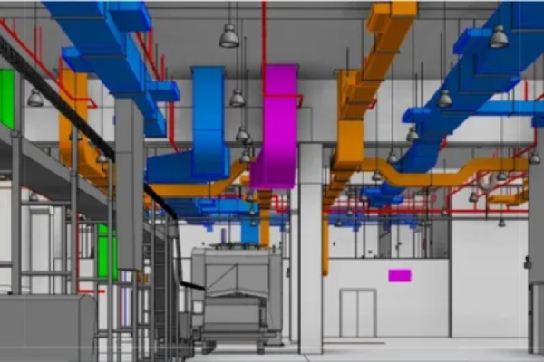
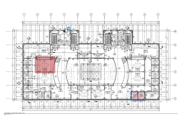
We take great satisfaction in being able to offer top-notch Location-Based- Property Information, and Land use planning solutions that are not only cutting-edge but also reasonably priced. Our team of highly qualified professionals and technology experts boasts extensive experience in the conversion of various types of Surveying Data, Including Aerial-Mobile LiDAR, UAV/Drone, Satellite, and foot survey data, into digital formats, as well as Geo-Database, Map creation, Data Analysis, Visualization, Modelling, Drafting, and Designing.
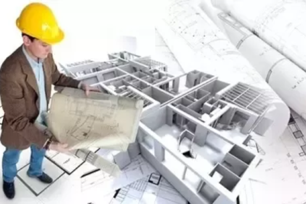
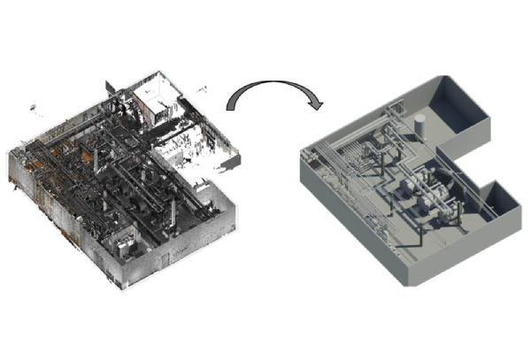
Our team of experts is committed to providing market-leading, sustainable solutions that boost efficiency and cost-effectiveness. Whether you require 3D laser scanning, 3D Modeling-BIM/Revit, CAD-Topographic Plans, 3D Laser Scanning, and Geospatial Data Analysis, Visualization, Mapping and Navigation, we are here to support you in achieving your objectives and moving forward towards a more sustainable future.
CONTACT US


A reputable and trustworthy ISO-certified Company, GeoPoint Solution is committed to offering innovative Geospatial, Remote Sensing Technology Solutions and Consultation Services in the areas of Architectural, Civil, Mechanical Engineering, Property Information and Land use Planning.
© Copyright © 2023 GeoPoint Solution. All Rights Reserved. Design and Developed by ![]() Fovty Solutions.
Fovty Solutions.